Last modified: 2026-10-10 by martin karner
Keywords: be'er ya'akov | text: hebrew (blue) | text: hebrew (yellow) |
Links: FOTW homepage |
search |
disclaimer and copyright |
write us |
mirrors
![[Local Council of Be'er Ya'akov (Israel)]](../images/i/il-lcbyk.gif)
image by Dov Gutterman | 2:3 


♦ photo (orange/green)
♦ photo source (blue/black)
♦ photo source (white with small emblem)
♦ photo source (white with big emblem)
♦ photo source (orange with small emblem)
♦ photo source (orange with big emblem)
See also:
[Former] Local Council Be'er Ya'akov (meaning Jacob's Well,
after Rabbi Ya'akov Yitz'haki, leader of the founding group, and
the ancient Roman well found in the site), is situated in the
centre of Israel, east to Ramla and
south to the old main road Jaffa–Jerusalem. Est. 1907, Local
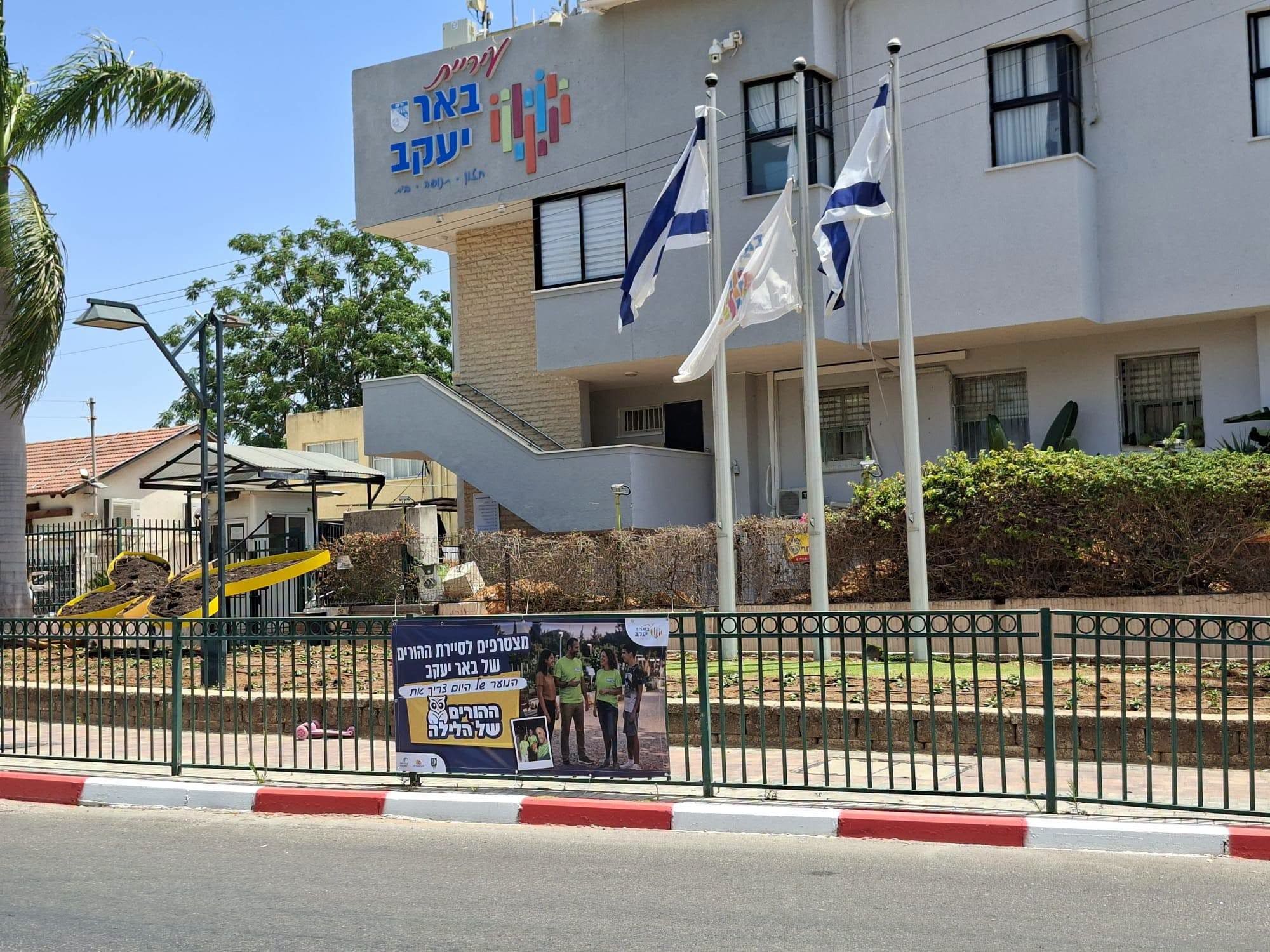
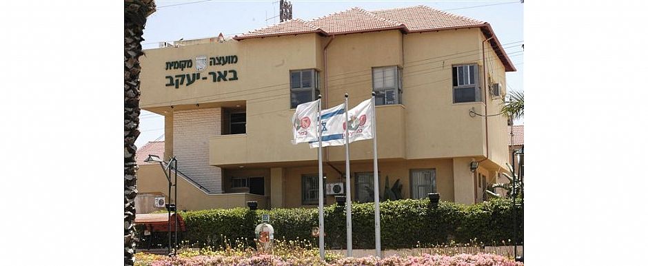
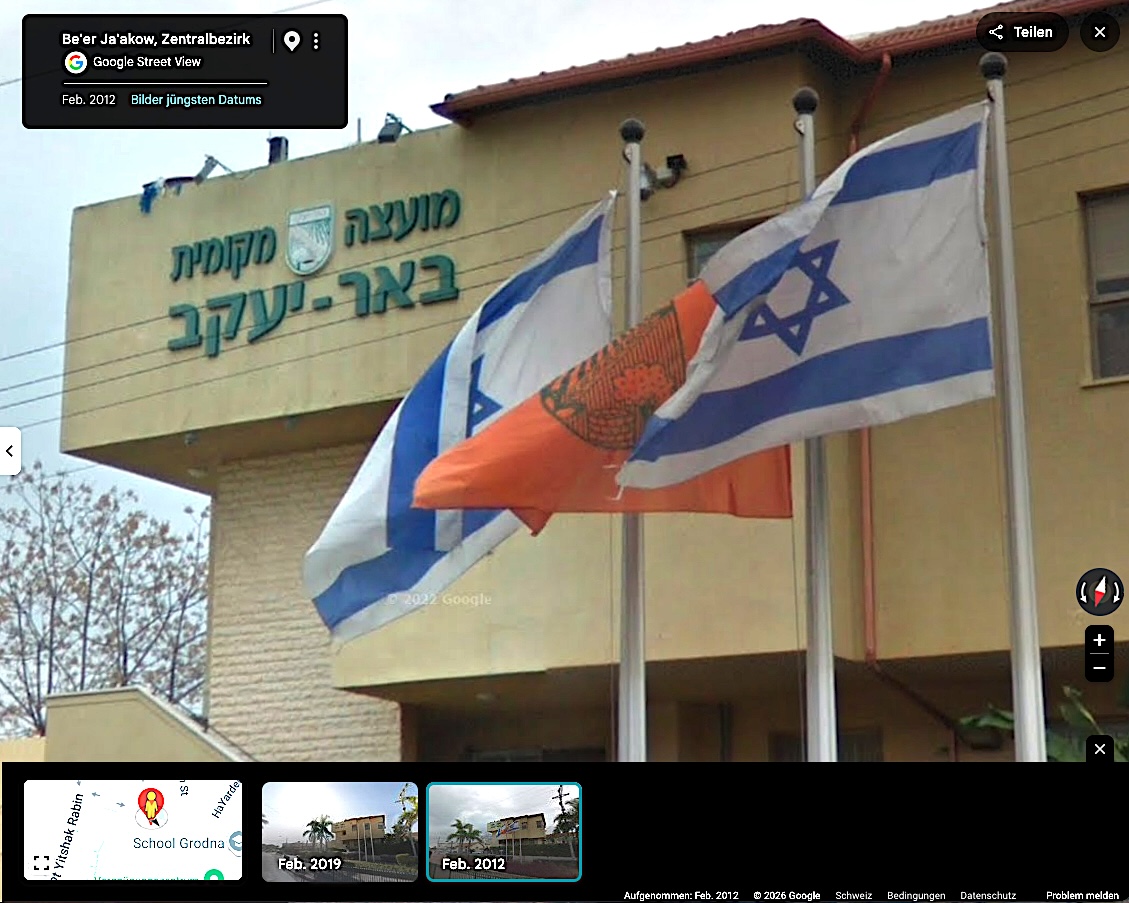
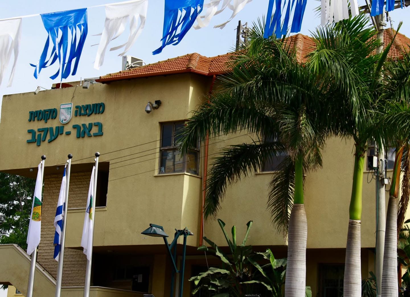
Council since 1949. In my visit I could only see national flags
on the city hall.
The municipal emblem was published in the official gazette (Rashumot),
'Publications Gazette' section (Yalkut ha'Pirsumim), YP
633, 13 November 1958.
Sources: author's own observation, 29 September 2001;
phone call to the Local Council, October 2001.
Dov Gutterman, 24 October 2001
In my visit of today, I located the flag, and it is natural
colors emblem on white with no inscription. However, other
backgrounds also may be in use.
Dov Gutterman, 6 April 2004
♦ From the municipal website (in Hebrew):
History of Be'er Ya'akov
Historical Significance
The Land of Israel at the end of the 19th century was at the outset of a fateful process of change. The Zionist idea, whose early proponents were intellectuals, writers, progressive rabbis and wealthy Jews, began to take shape in the wake of the national awakening occurring in various parts of the world. The aim was to settle the Land of Israel and transform it into a Jewish homeland, with a political and national claim to a sovereign nation. Dozens of new settlements were established across the country, and alongside them arose the first Hebrew city, namely Tel Aviv. [...]
A further historical significance lies in the fact that Be'er Ya'akov was established on the initiative of the people of the land – the "Geula Society" – led by Dizengoff and Hissin, rather than as yet another settlement reliant on additional donations from Baron Rothschild.
Social Significance
The social uniqueness of Be'er Ya'akov lies in the fact that its founders included Jews from various diasporas (Eastern and Western), who succeeded in blending their cultures and ways of thinking into a life of partnership and shared conviction.
Foundation of the Settlement
In 1906, Meir Dizengoff, one of the directors of the "Geula" company – which was then engaged in the reclamation of arid and uninhabited land – purchased 2000 dunams from the German Lutherans who owned the "Havat Shafon" farm (the farm building still stands and is preserved at Kibbutz Netzer Sireni). Some time before settling on the land, a meeting was held at the "Sha'arei Zion" library in Jaffa, at which it was agreed that the new settlers would purchase plots of 50 and 100 dunams with their own funds. Among other things, it was agreed that half of the total land would be made available to Caucasian Jews, who had been farmers in their country of origin and were therefore seen as key to making the wasteland flourish. The other half was sold to immigrants from Russia, Poland, Romania, Bulgaria, Argentina and Persia, who had already been living in the country for several years and some of whom had gained experience whilst working as hired farm labourers. [...]
On Tuesday of the year 5668 (1907), "Wadi Lemon" (the Arabic name for the area) was suddenly filled with thousands of people who had come from all the settlements across the country to witness and celebrate the day of its founding and the laying of the foundation stone of the colony, which had not yet been named but was to be called, shortly afterwards, Be'er Ya'akov.
The Origin of the Name Be'er Ya'akov
Be'er Ya'akov is named after Rabbi Ya'akov Yitzchaki, one of the founders of the settlement, the son of a family of rabbis who, at the age of 22, was appointed Chief Rabbi of the Jews of the Caucasus. [...] In the absence of a water source, the first settlers were forced to carry water on their backs and in their hands from Rishon LeZion and Ness Ziona. Some time later, a cart was organised to bring water, but this was still not enough to meet the settlers' needs; after much debate, they decided to re-dig the ancient, dry well dating from the Crusader period. It turned out that this decision was a wise one and, in fact, had a significant impact on the future of the place. At a depth of 45 metres, between thick, lined walls – a remnant from the Crusader period – water was discovered. In the joy of the discovery, seeing the water gushing from the ancient, blocked-up well, the settlers decided to name the place "Be'er Ya'akov", after its founder, Rabbi Ya'akov Yitzchaki, and thus the name of the young settlement was established.
(Translated with DeepL.com)
.png)
(source [retrieved])
From Hebrew Wikipedia:
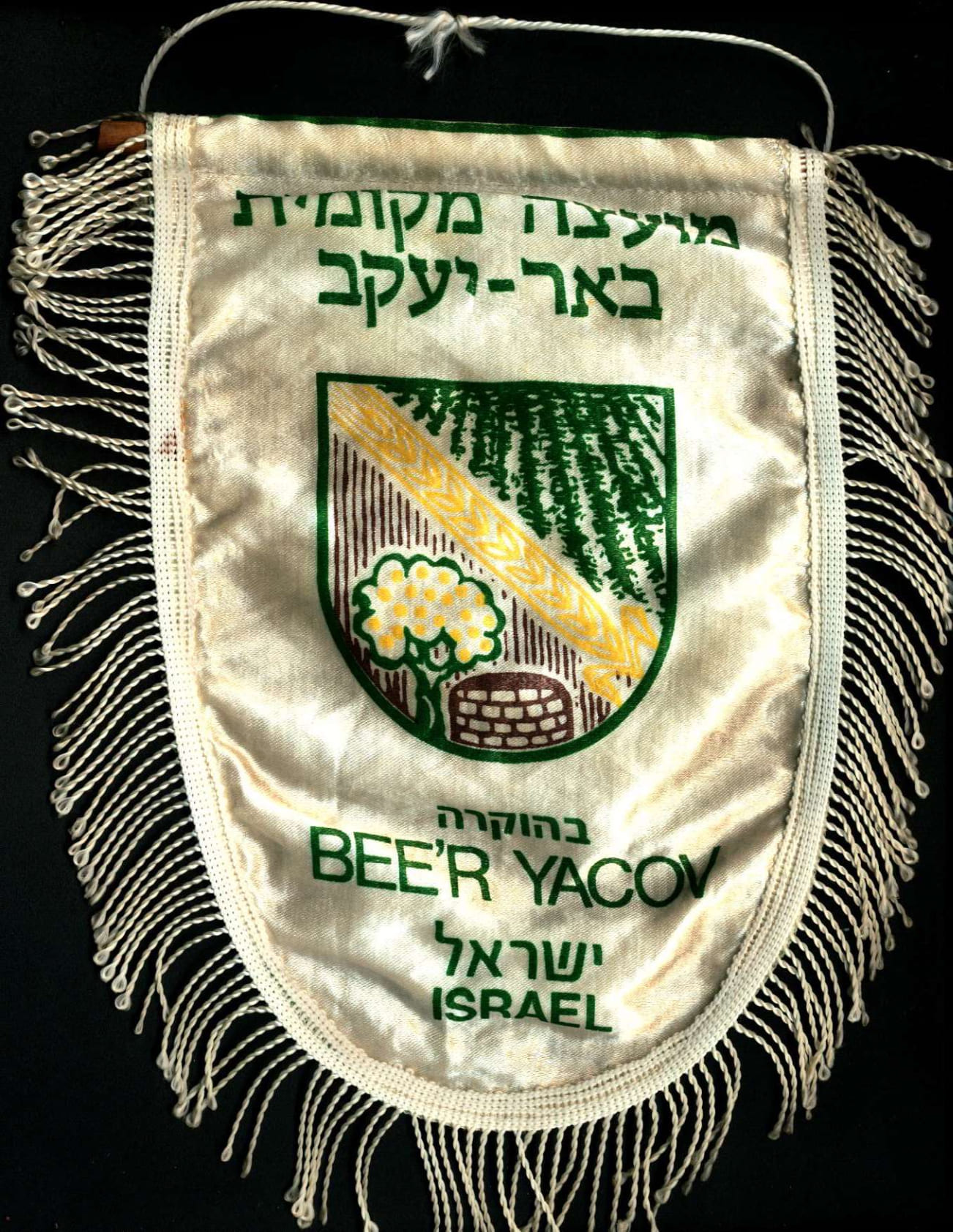
The emblem consists of a rounded shield divided in two by a diagonal sheaf of wheat. The upper half features an illustration of a green field against a blue background, and at the top of the emblem is the name of the council. In the lower half is an illustration of an orange tree, symbolising the citrus industry which was the main agricultural activity in the council, and a well, symbolising the ancient Roman well within the council's territory which was re-excavated upon its establishment to find water; both are set against an orange background. The coat of arms reflects the agricultural character of the settlement, which was founded as a colony in 1907.
(Translated with DeepL.com)
lcbyk.jpg)
(source [retrieved])
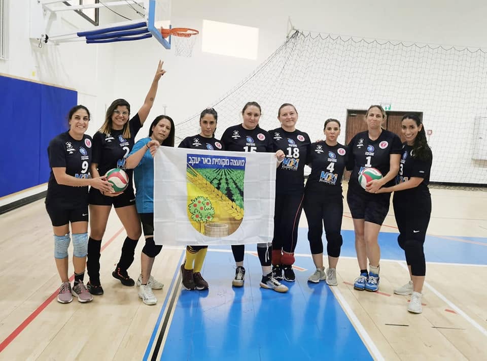
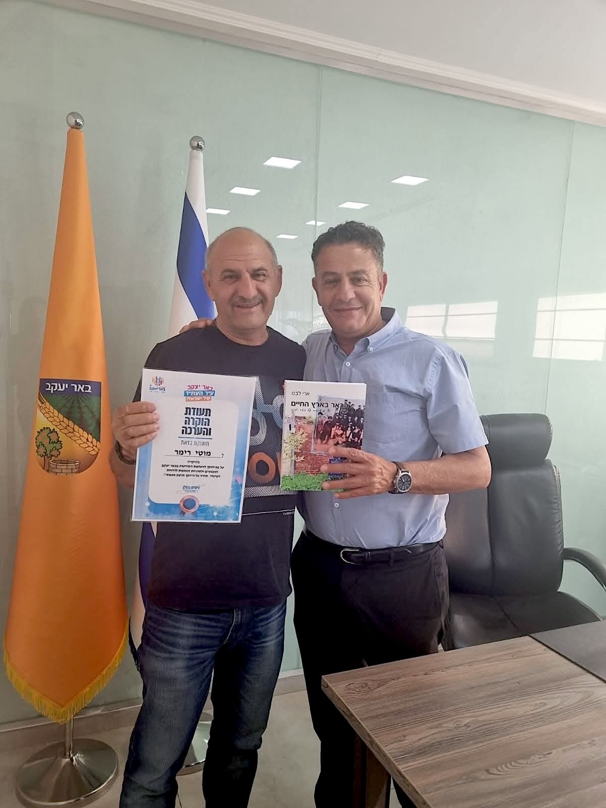
♦ photo
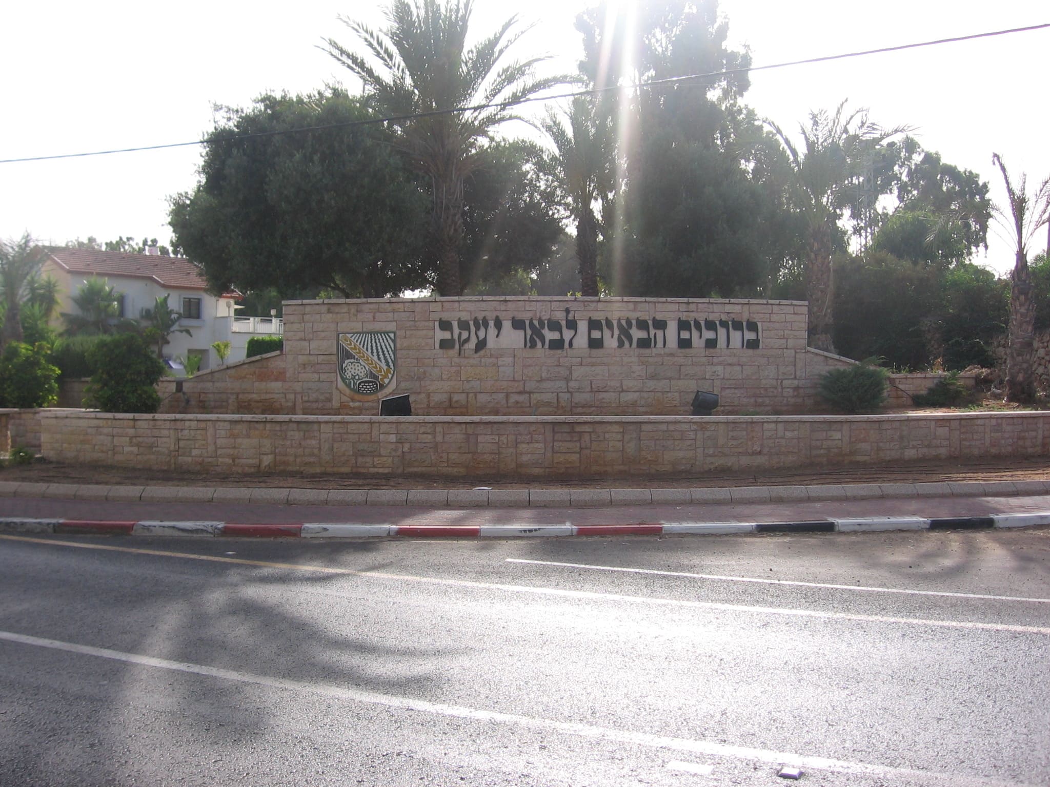
♦ photo source (city entrance, "Welcome to Be'er Ya'akov"), detail source
♦ photos: coin, keychains, patch (b-y-org.il [retrieved])

♦ photo source
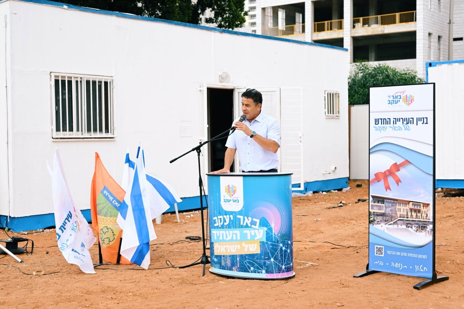
♦ photo source (flag with logo)
From Hebrew Wikipedia:
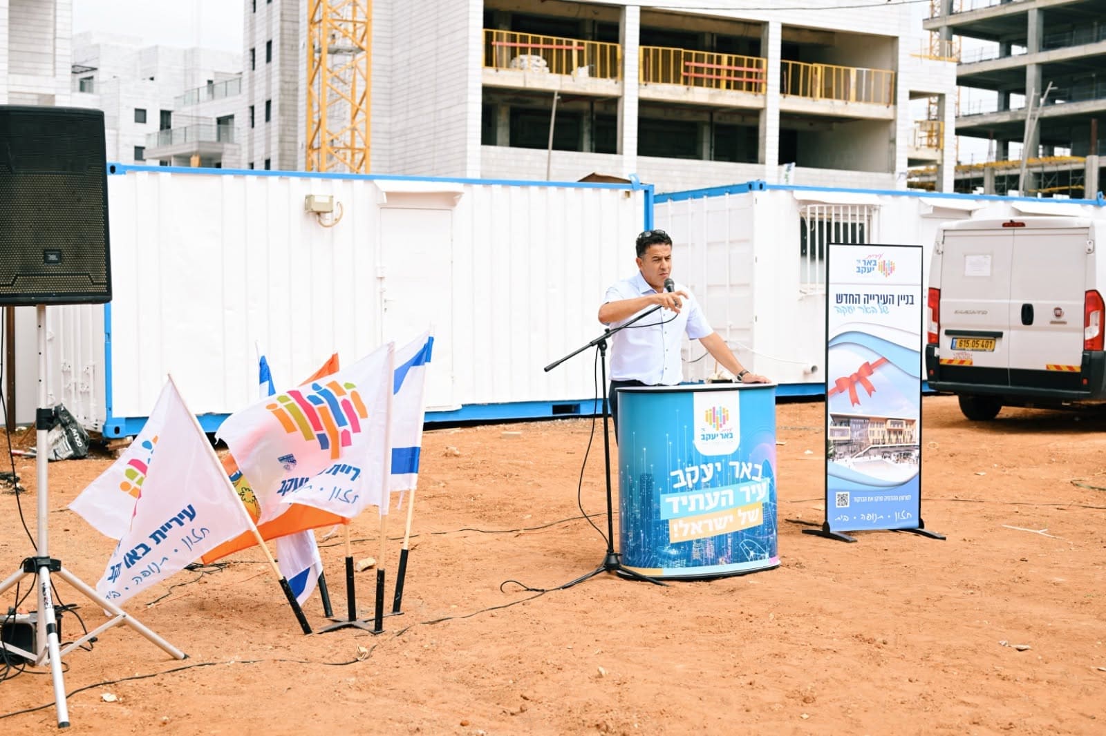
In 2020, as part of a rebranding process carried out following the approval of the council's master plan – under which the settlement became a town upon its completion – a new branded logo was designed and adopted.
The logo consists of stripes, circles and house shapes in shades of orange, green, pink and blue, which together form the shape of a heart. The combination of long stripes and small houses symbolises the settlement's development, with the construction of residential towers alongside detached houses, and its aspiration to become a city. The heart shape symbolises the connection between the old and the new, and the settlement itself as a "warm, welcoming and inclusive" community for its residents and the new families moving there. At the bottom of the emblem, the council's name appears in blue alongside the old council emblem and the new motto: "Vision • Momentum • Home":Vision – The council's vision to become the "Pearl of the Shefela", a sought-after and modern city in the region. Momentum – symbolises the rapid construction boom in the council, as set out in the master plan approved in 2020, under which 27'000 housing units, two parks and a municipal football stadium are expected to be built, and the town's population is set to grow by approximately 85'000 residents. Home – the council's commitment to preserving its community character.
(Translated with DeepL.com)
(source [retrieved])
♦ photo source (flag with jubilee logo)
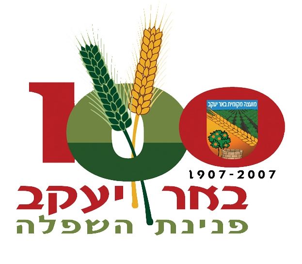
From Hebrew Wikipedia:
A logo used in 2007, the settlement's centenary year; the logo consists of the number 100, with the "0", and beneath it the year of foundation, 1907, and the centenary year. The left-hand "0" is coloured green to symbolise the future, and wheat ears sprout from it, symbolising the past. At the bottom of the emblem is the council's name and the motto "The Pearl of the Shefela".
(Translated with DeepL.com)

3.jpg)

2.jpg)